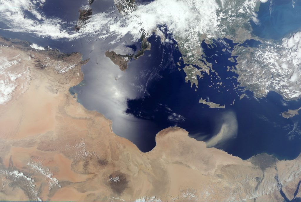
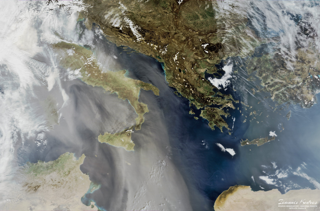
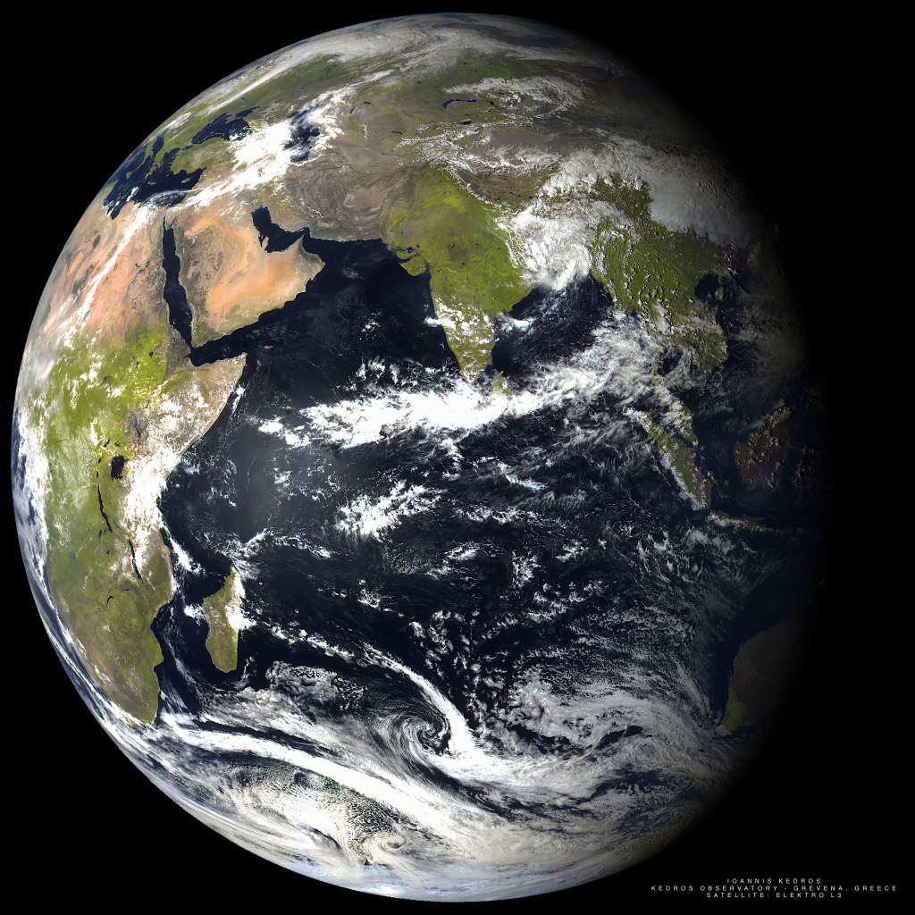
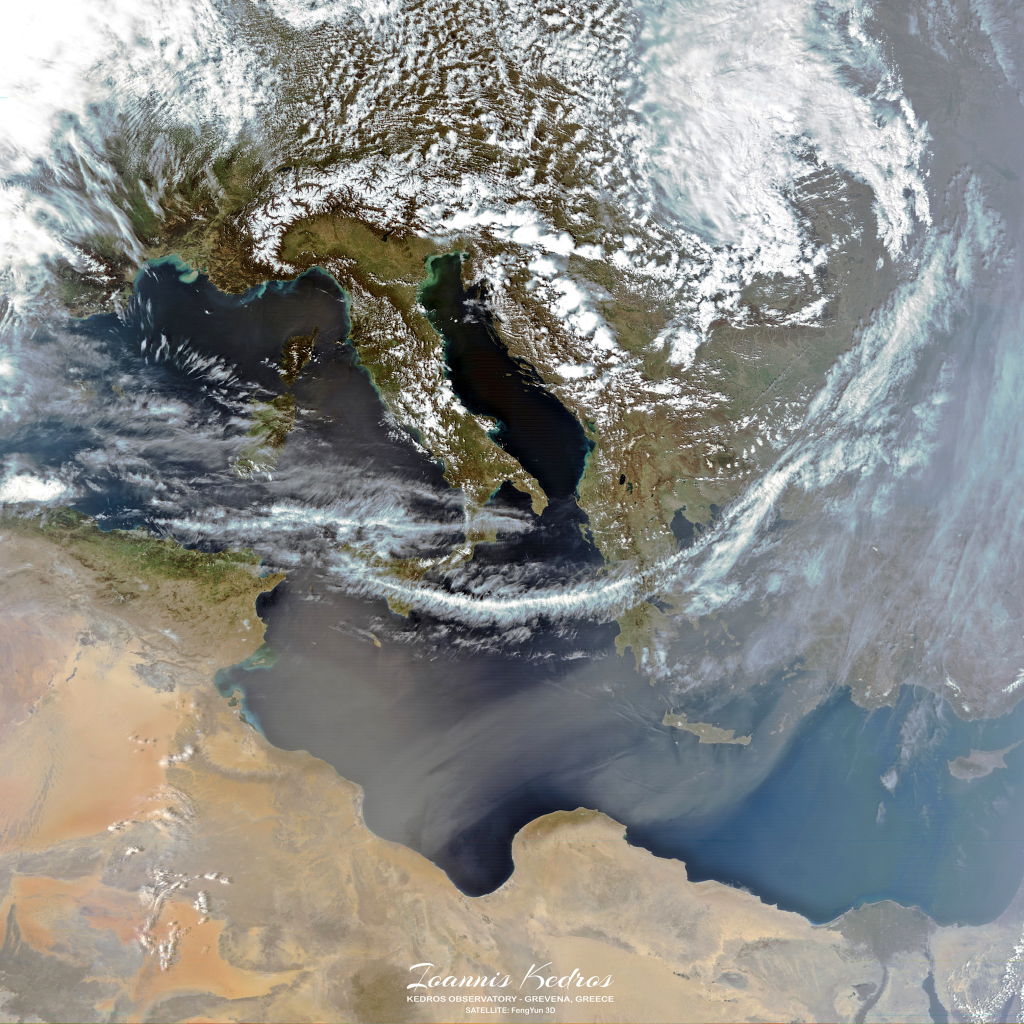
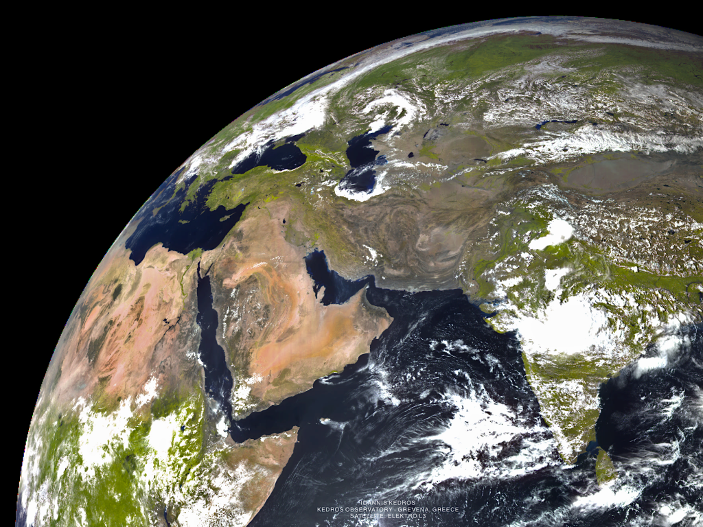
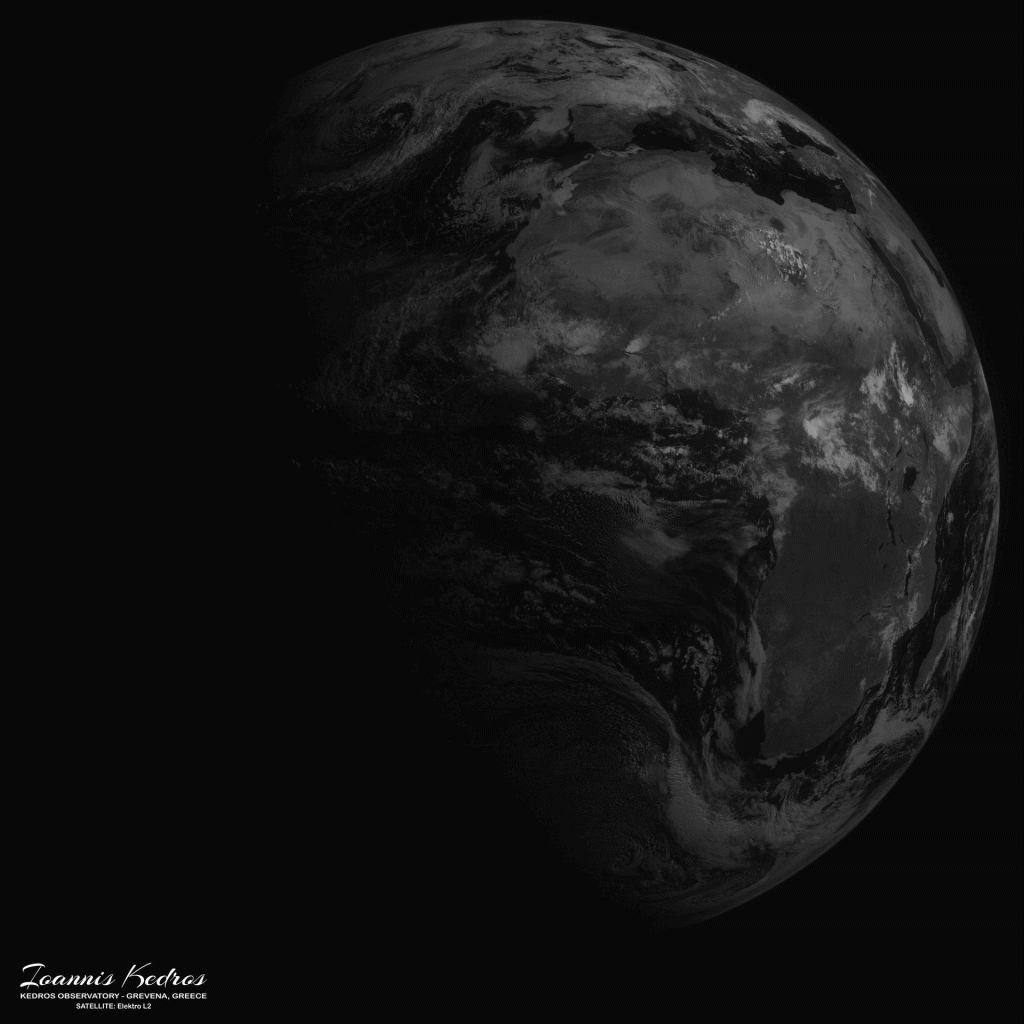
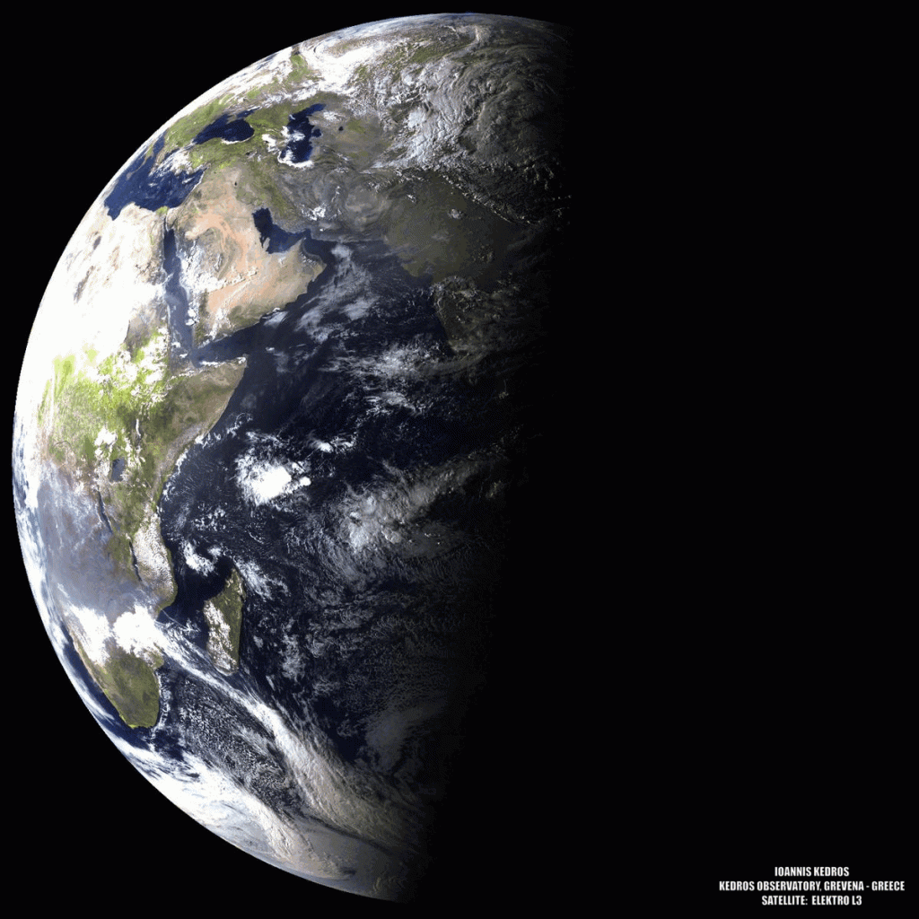
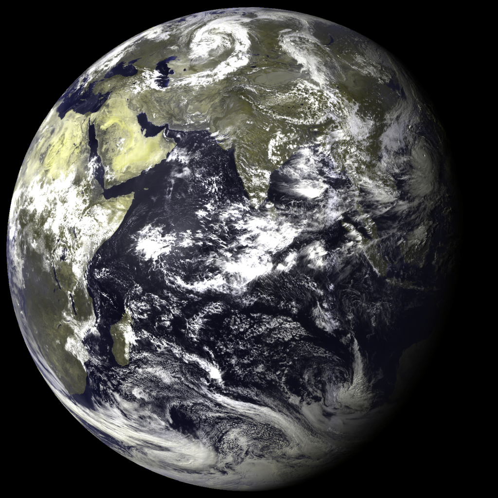
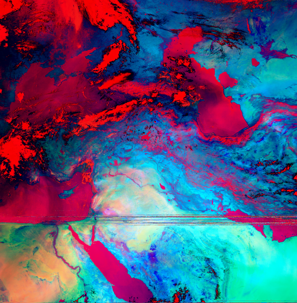
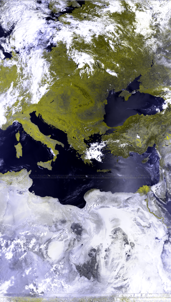
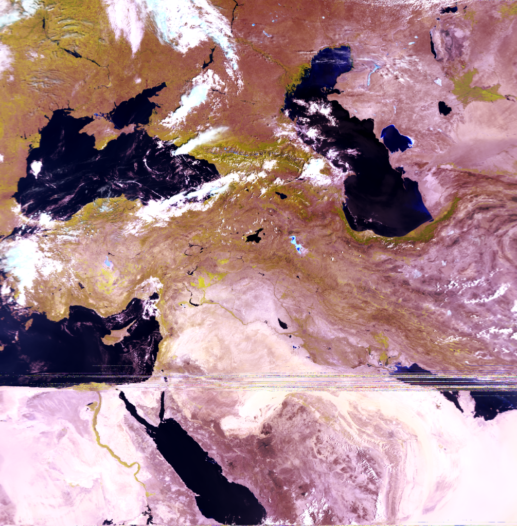
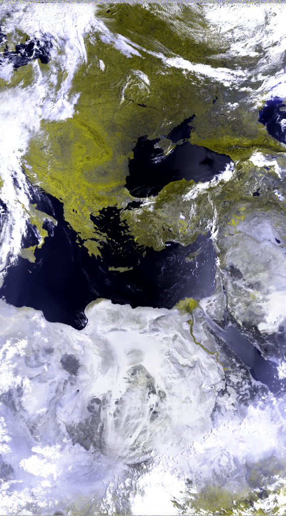
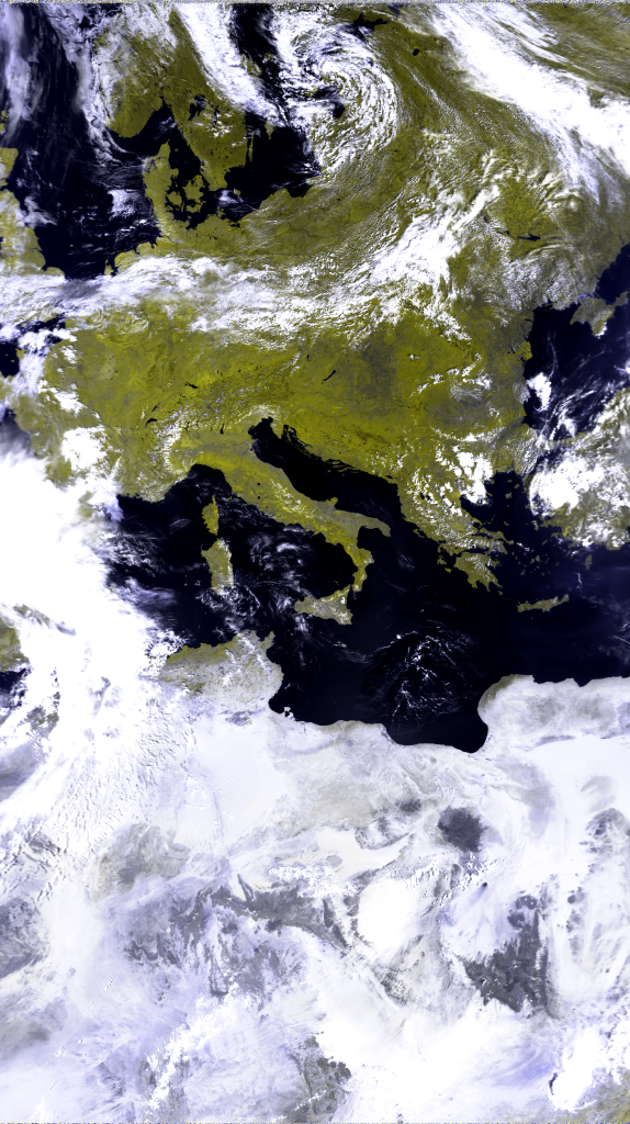
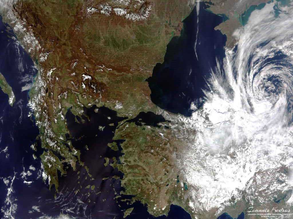
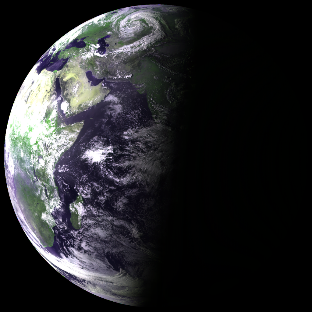
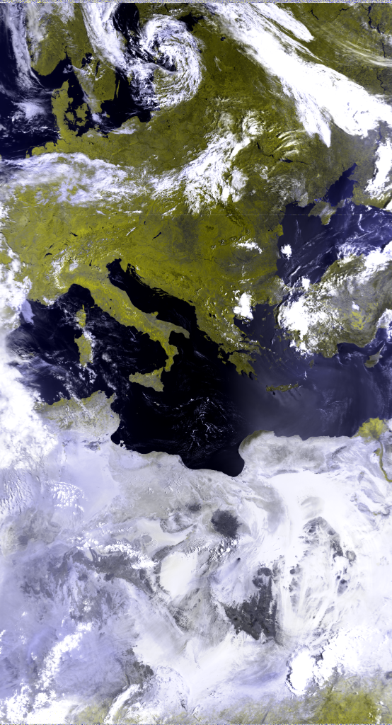
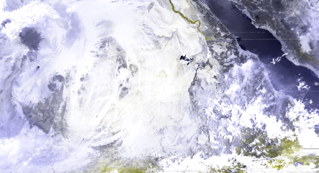
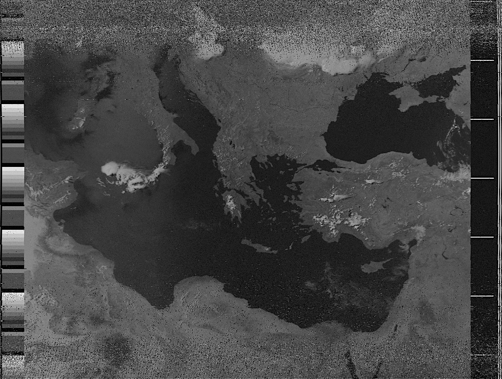
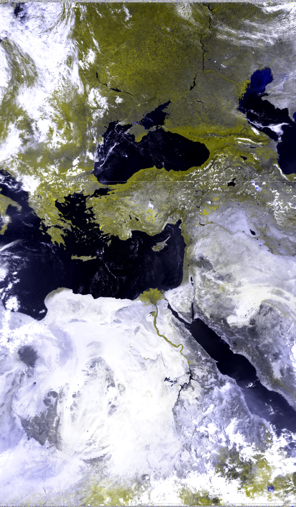
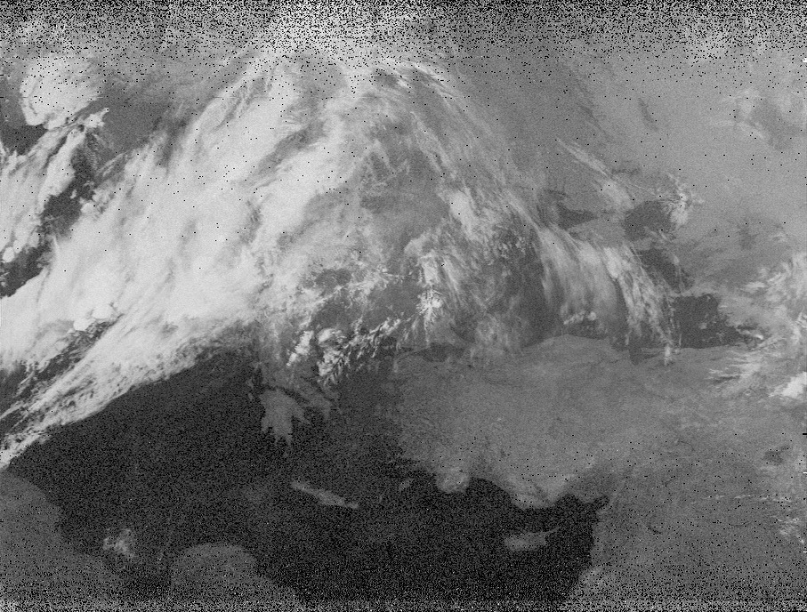
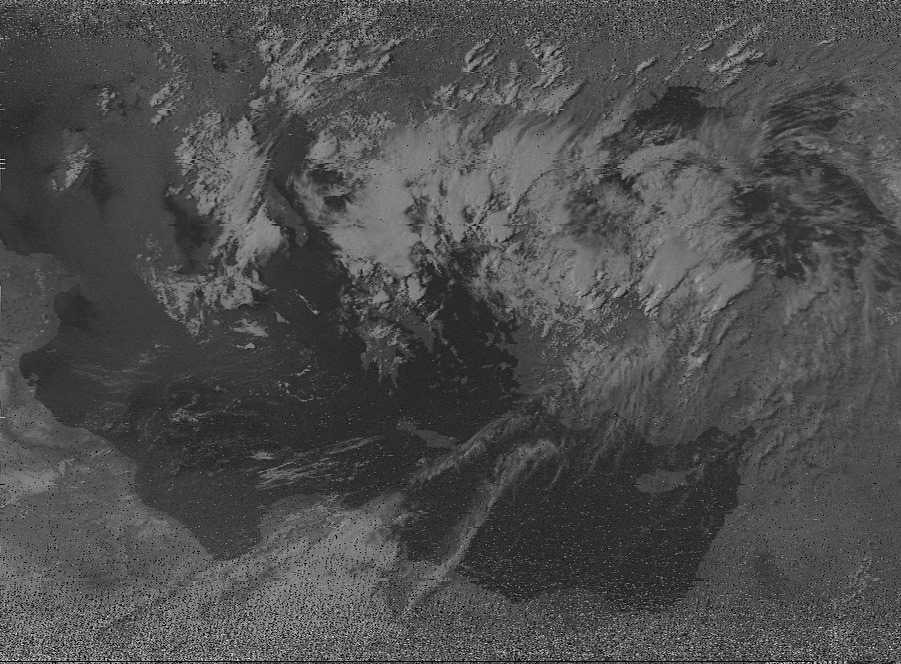
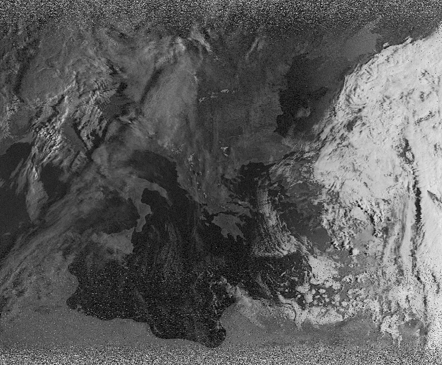
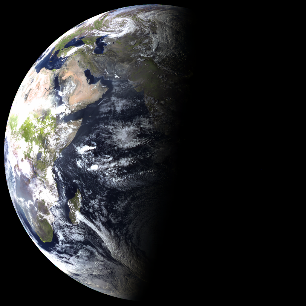
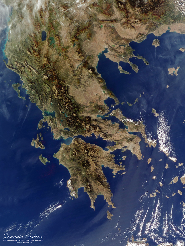
Satellite images are photographs or digital representations of the Earth’s surface captured by satellites in space. These images provide valuable insights into various aspects of our planet, including land use, urban development, natural disasters, weather patterns, and environmental changes.
Satellite imagery plays a crucial role in applications such as mapping, agriculture, urban planning, and disaster management, offering a unique and comprehensive perspective of our world from above.
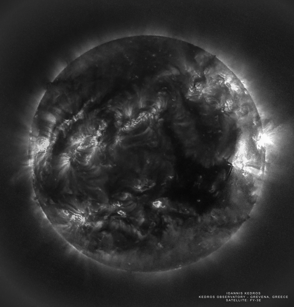
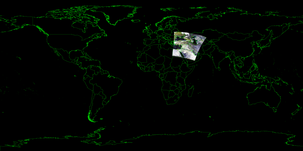
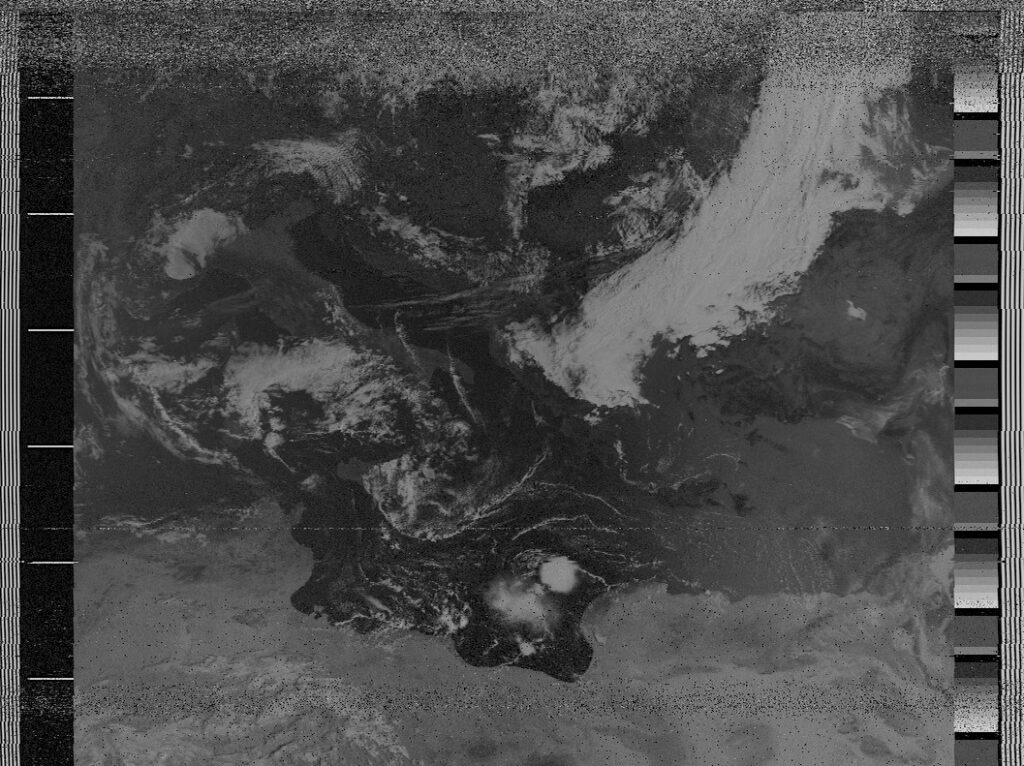
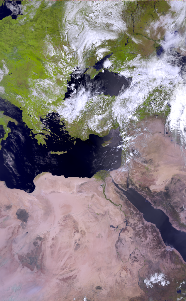
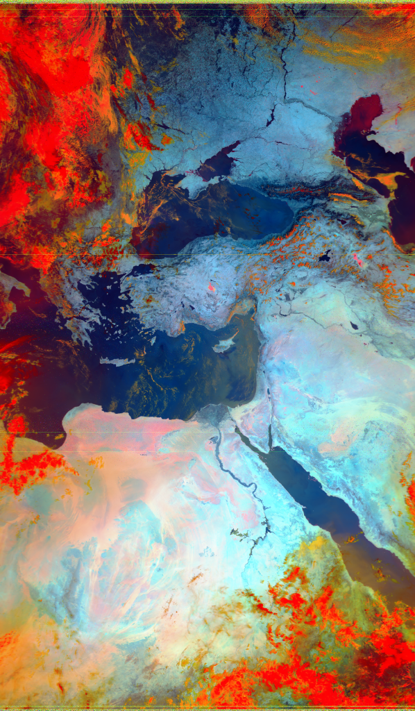
All of the space data and images are taken from our custom made satellite communications system that we designed and build from zero! The system is capable of tracking satellites in all orbits and receive signals from L / S and X-Band, with high accuracy and amazing signal integrity!
Pictures from Satellites:
Pictures of Satellites from Earth:
Satellite data refers to the collection of information gathered by satellites orbiting the Earth. It encompasses a wide range of measurements, including, atmospheric data, weather patterns, climate variables, telemetry and more. This data is instrumental in various fields, such as meteorology, environmental monitoring, agriculture, and navigation. Satellites provide a global perspective, allowing scientists, researchers, and organizations to analyze and understand our planet’s dynamic systems, track changes over time, and make informed decisions based on the insights derived from satellite data.